
History & Heritage
Tracing the ancestral roots, historic chiefdoms, oral traditions, and cultural identity of the Mangar community in Sikkim.
Before the establishment of the Namgyal dynasty, Sikkim was inhabited by the Lepchas, along with the Limbus and Mangars (Risley, 1894; Namgyal and Dolma, 1908). Historical and documentary sources indicate that both Limbus and Mangars were already present in Sikkim before the consecration of Phuntsog Namgyal as the first Gyalpo of Sikkim in 1641 A.D. These references place the Mangar community within the early historical landscape of Sikkim, predating the formation of the Namgyal state.
Historical scholarship further identifies the Mangar community as one of the indigenous communities of the Sikkim Himalaya (Subba, 2008). Allay (2003) notes that the Mangars traditionally followed practices associated with nature worship and maintained their own forms of political and social organisation. Historical traditions also refer to indigenous territories such as Limbuwan of the Limbus and Mangarjong of the Mangars, indicating the existence of distinct indigenous chiefdoms and systems of authority prior to the wider spread of Buddhism.
The historical traditions surrounding the community also preserve accounts of former political centres and chiefs. Allay (2003) records a popular account concerning Sintupati Sen Mangar, whose wife ended her life in a stream known as “Rani Khola” following the chief’s death at “Raja Taar.” Furthermore, Sinha (1975) discusses Mangar resistance against emerging political arrangements, and scholars like Chemjong (1967), Dahal (1984), and Das (1907) document early movements, leadership roles, and cultural links across the region.
Linguistic traditions also contribute significantly; Allay (2003) derives the name “Sikkim” from Mangar vocabulary—combining “Sechey” (good or beautiful) and “Imm” (home)—reflecting a distinct Mangar perspective on the historical landscape and preserving the legacy of Mangar Dhut.
Mangarjong: Traces of Ancient Mangar Sites
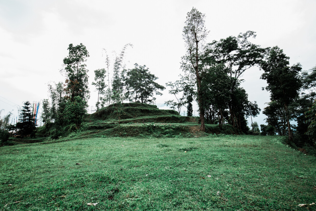
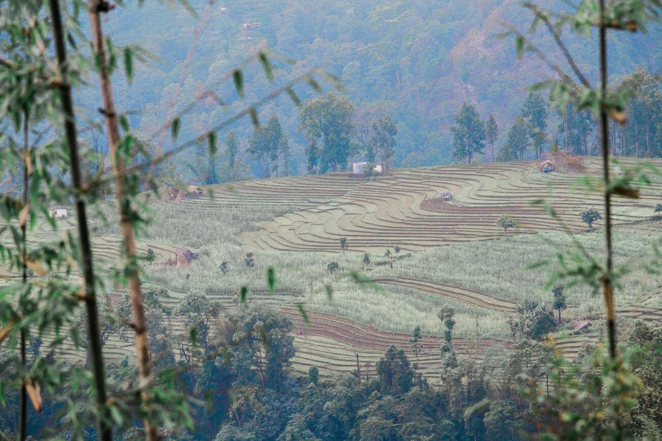
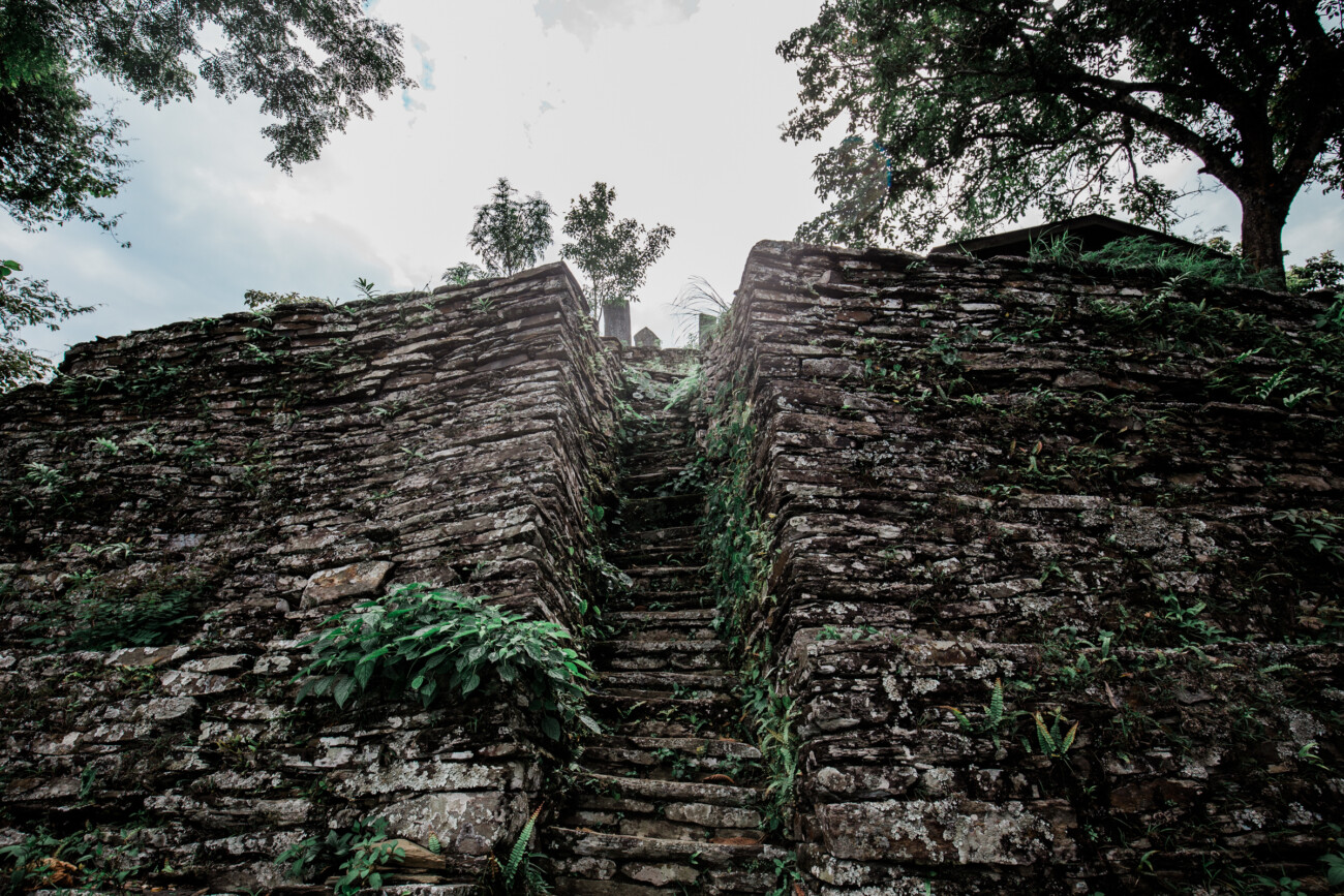
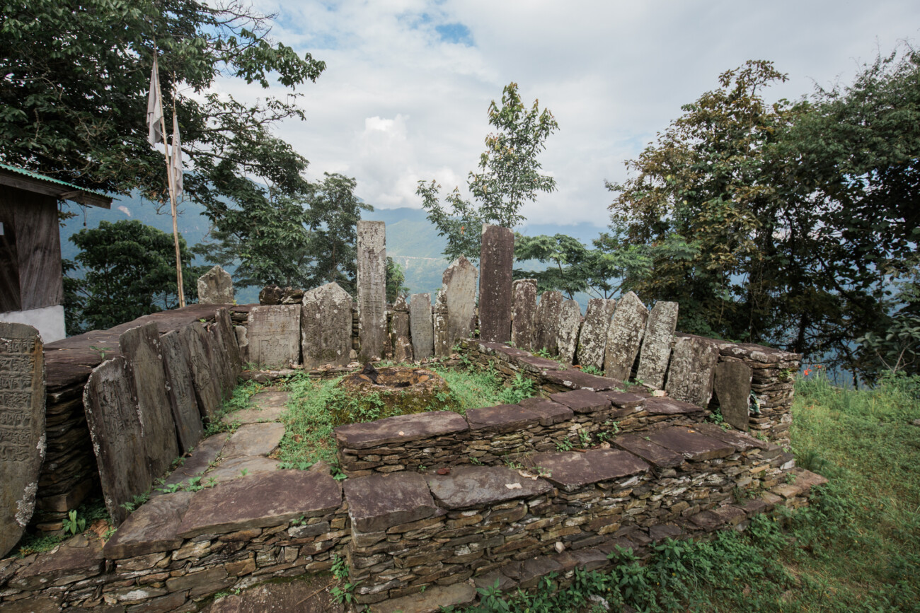
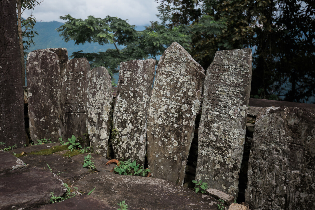
The landscape of present-day Sikkim and the adjoining Darjeeling region preserves numerous places associated with the history, settlement, and political presence of the Mangar people. Among these are the ruins and traditional sites collectively remembered as Mangarjong, along with ancient forts, lookout points, sacred sites, and settlements bearing names connected with the Mangar community. Local traditions maintain that these sites represent remnants of Mangar chiefdoms that existed before the consolidation of the Sikkim Kingdom under the Chogyals.
The historical geography of these sites must also be understood in the context of the territorial relationship between Sikkim and Darjeeling. Darjeeling formed part of the Sikkimese domain before it was ceded by the Chogyal to the British in the nineteenth century. Consequently, several places now separated by the modern political boundary of Sikkim and Darjeeling were historically connected through a common cultural and geographical landscape. The Mangarjong sites therefore constitute not merely isolated ruins or place-names, but a wider network of memories associated with Mangar settlement, political authority, warfare, migration, and religious traditions.
Mangsari Mangarjong
Located near Tharpu village in present-day Soreng District, Mangsari Mangarjong is traditionally associated with Sintupati, or Shintupathi Sen Mangar, who is believed to have ruled the region around the beginning of the seventeenth century. According to local oral tradition, as the Chogyal expanded his authority over the various independent chiefdoms of the region, several local rulers accepted his suzerainty, while others resisted.
Particularly strong resistance is remembered in the Daramdin–Lungchok area, where the Limbu chief Mabohang and Sintupati Sen Mangar are said to have opposed the expansion of Chogyal authority. Tradition holds that the Chogyal sought assistance from Tibet to suppress this resistance. A Tibetan force subsequently launched a surprise attack on the Mangar chief, during which Sintupati Sen Mangar was killed. His story remains an important part of the oral historical traditions associated with Mangsari Mangarjong.
Barthang-Berfok Mangarjong
Barthang-Berfok Mangarjong, situated in West Sikkim, is traditionally remembered as the territory of Dalkinari Khapangi Mangar, regarded in local tradition as the last Mangar chief of the area. According to oral accounts, around the beginning of the nineteenth century, a Bhutia force launched a sudden attack against the chief. Although Dalkinari faced the attacking force with only a small contingent of warriors, he is said to have fought against the much larger army and was ultimately killed in the battle. His memory continues to be preserved by the local Mangar community and neighbouring villagers through annual rituals held on Mangsir Purnima.
The story is also associated with his unmarried sister, Chandrakumari. Following her brother’s death, she is believed to have fled the area and mysteriously disappeared near a large stone beside the Rangsang River. The local community subsequently came to venerate her as Kanya Boju, also known as Chandra Kumari Mangarni Boju Thaan. The site thus represents both the memory of the last Mangar chief and the continuing sacred tradition surrounding his sister.
Kateng Mangarjong
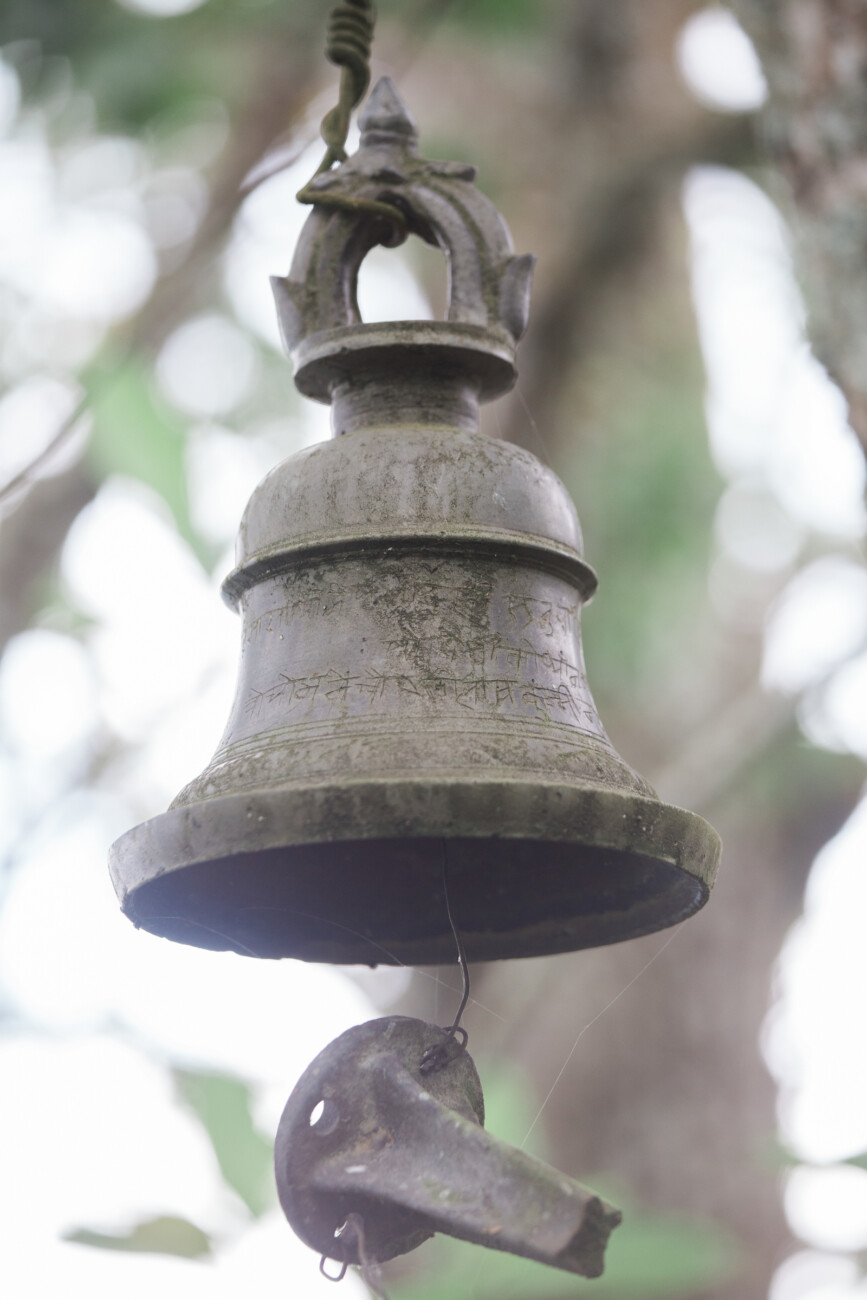
Kateng Mangarjong, situated in Namchi District, is traditionally believed to have been ruled by a Mangar chief whose name is no longer preserved in local memory. One of the most distinctive features associated with this historical landscape is Ghanti Dara, literally meaning “Bell Hill.”
According to local tradition, a large bell was installed on the hill by the Mangar chief. The bell reportedly served as an early warning mechanism, alerting the inhabitants whenever there was a threat of enemy attack or another emergency. Local folklore further maintains that the bell would occasionally ring by itself over a long period of time. The original site of the bell was difficult to reach and was enclosed by a stone structure. For its preservation and easier access, the villagers later moved the bell to a more accessible location. Kateng Mangarjong therefore represents an important combination of historical memory, defensive tradition, folklore, and material heritage.
Kamrang Mangarjong
Kamrang Mangarjong in Namchi District is associated with the traditional story of Chief Dalsing Mangar and his queen. According to local oral history, Dalsing Mangar married the daughter of a Lepcha chief. The marriage reportedly created tensions within the local political landscape, eventually leading the Lepcha chief to seek assistance from the Bhutias against Dalsing Mangar.
The combined Lepcha-Bhutia forces subsequently attacked the Mangar chief. Realising that defeat was unavoidable, Dalsing Mangar and his queen are said to have fled towards the Mangarjong area. The chief was eventually discovered and killed, while his queen managed to escape towards Robong Hill. The tradition continues with an account that, approximately a year after the chief’s death, a Lepcha woman became possessed by the spirit of his wife and narrated the story of the royal couple to the villagers. In remembrance of the chief and his queen, the local people began performing rituals at the site, which came to be known as Mangarjong Boju Thaan. The site continues to represent the enduring memory of the couple and the community’s ritual relationship with its past.
Famtang Mangarjong
Famtang Mangarjong, situated in the Borong area, is associated with an important tradition concerning conflict and migration. The name is traditionally explained through Lepcha linguistic elements, with Fam understood as “loss” and Tam as “place.” According to local tradition, the name recalls a period when the Mangar people suffered defeat in a conflict with Bhutia forces.
Following the defeat, the Mangars are said to have retreated into more remote areas in order to protect themselves from their enemies. Their movement reportedly extended towards places such as Karzi, Dhupi, and Mangnam. Famtang Mangarjong consequently preserves a memory not only of conflict but also of displacement, survival, and the movement of Mangar communities through the mountainous landscape.
Sudunglakha Mangarjong
Sudunglakha Mangarjong is situated between Rhenock and Rongli. Further inside the area lies a locality known as Kopchey, which is traditionally remembered as an earlier Mangarjong settlement.
According to local accounts, the settlement was relatively small and consisted of only about three Mangar households. Although limited in size, such settlements are significant in understanding the historical distribution of Mangar communities across different parts of Sikkim. The tradition of Sudunglakha therefore contributes to the broader geographical memory of Mangar settlement beyond the larger and more prominent Mangarjong centres.
Suldung Gadi
Suldung Gadi, located on a hilltop above Suldung village in Soreng District, is traditionally regarded as a strategic lookout and defensive position. The elevated location provided a wide view of the surrounding valleys and distant areas, making it suitable for monitoring possible enemy movements.
According to local tradition, warriors stationed at the site would observe the surrounding landscape and alert the settlement when an enemy was approaching. Large stones were reportedly kept or used at the site as defensive weapons, which could be thrown or rolled towards advancing forces. Suldung Gadi therefore reflects the importance of hilltop positions in the traditional defensive organisation of Mangar settlements.
Kitam Gadi
Kitam Gadi, situated above Kitam market in Namchi District, is traditionally associated with a fort or defensive structure connected with the Mangar community. The elevated location is believed to have served a strategic purpose, allowing the surrounding area to be observed from above.
One of the most distinctive traditions associated with Kitam Gadi concerns the use of flaming arrows. According to local legend, warriors stationed at the fort would set the tips of their arrows on fire before launching them towards approaching enemies. Whether understood as historical memory or martial folklore, the tradition illustrates the community’s continuing association of Kitam Gadi with warfare, defence, and strategic surveillance.
Mangardalam
Mangardalam is located in the Ralong-Namlung Gram Panchayat under the Namlung Block of the Ralong constituency. Unlike the Mangarjong sites primarily associated with chiefs and warfare, the history of Mangardalam is closely connected with the everyday movement and activities of the local population.
According to the traditional explanation of the name, lam in the Mangar language refers to a path or road, while di refers to water. The locality is believed to have received its name because people regularly travelled along a narrow path to collect or carry water. The place-name therefore preserves an aspect of ordinary community life and provides an example of how the physical environment and daily activities became embedded in Mangar geographical memory.
Mangarthang
Mangarthang is situated in Soreng District, between Reshi and Mangalbaria within the Rinchenpong constituency. The name itself preserves a direct association with Mangar settlement. The term thang, found in Bhutia and Tibetan linguistic usage, refers broadly to an area or locality.
According to local tradition, the Bhutia people referred to the locality as Mangarthang, meaning essentially “the place or area of the Mangars,” because of the presence of a Mangar settlement there. The place-name therefore serves as an important linguistic marker of the historical presence of the Mangar community in the region.
Source: Santosh Allay